|
By JOE CARTWRIGHT
Special to North Palm Beach Life All Photos by Joe Cartwright Related: More Traveling With Joe Carol and I had started on a two-day trip from Yosemite to Grand Canyon National Park when we first heard the words “Hurricane Harvey” uttered. In a short news break, the country music station we had tuned to said, “In other news, Hurricane Harvey is continuing across the Gulf of Mexico . . .” We both said, “WHAT?!?!?” and tuned the satellite radio to CNN to get filled in. I suppose I should add that we have lived in the Greater Houston area for over 40 years now, and are very familiar with, and leery of, any hurricane in the area. Two days later, we had set up camp at Grand Canyon’s Trailer Village RV Park. Our site came fully equipped with water, electric, sewer and cable TV hookups. Normally of little interest, that cable TV hookup became one fountain of information for what was going on back at home. Probably being worried to death about what was going on back at home was not the best way to start out seeing the magnificence of Grand Canyon National Park. As the hurricane began to devastate the Houston area, we started getting messages from friends all over wondering how we were doing – well, we got the messages when we could get a cell phone signal, that is. As fine as the cable connection was, cell service in the Grand Canyon Village area was spotty at best. |
|
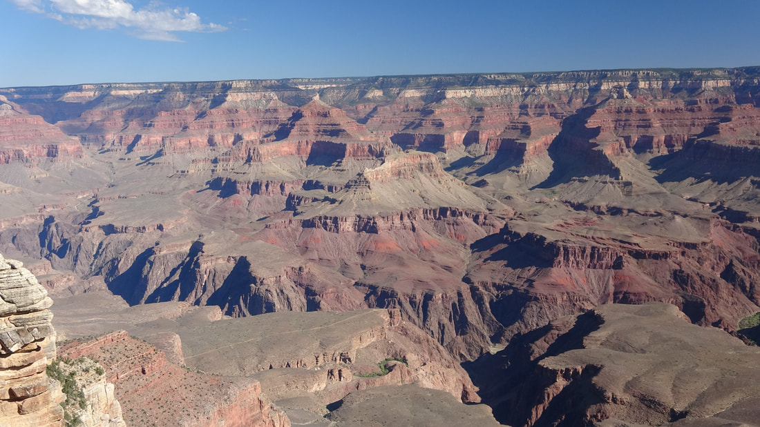
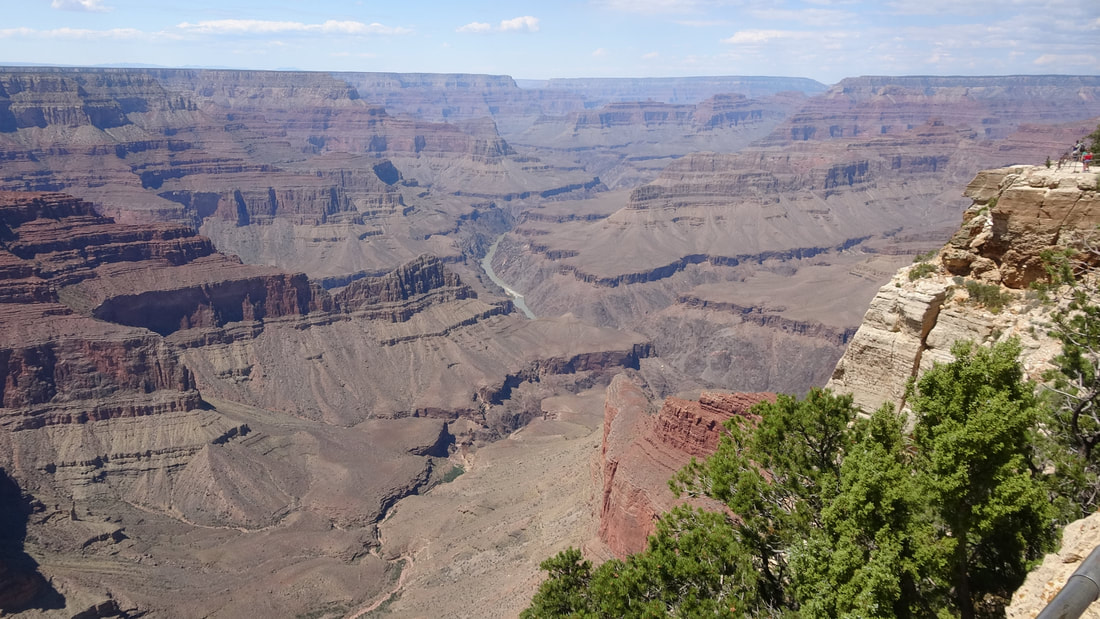
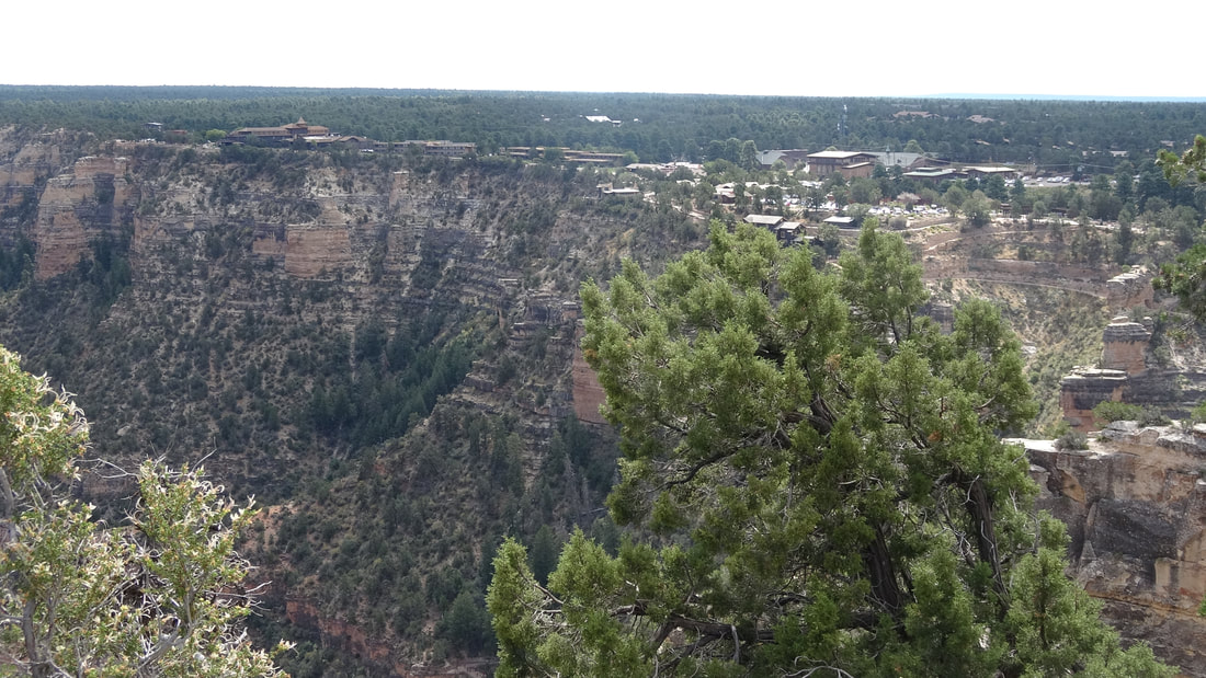
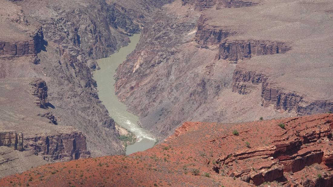
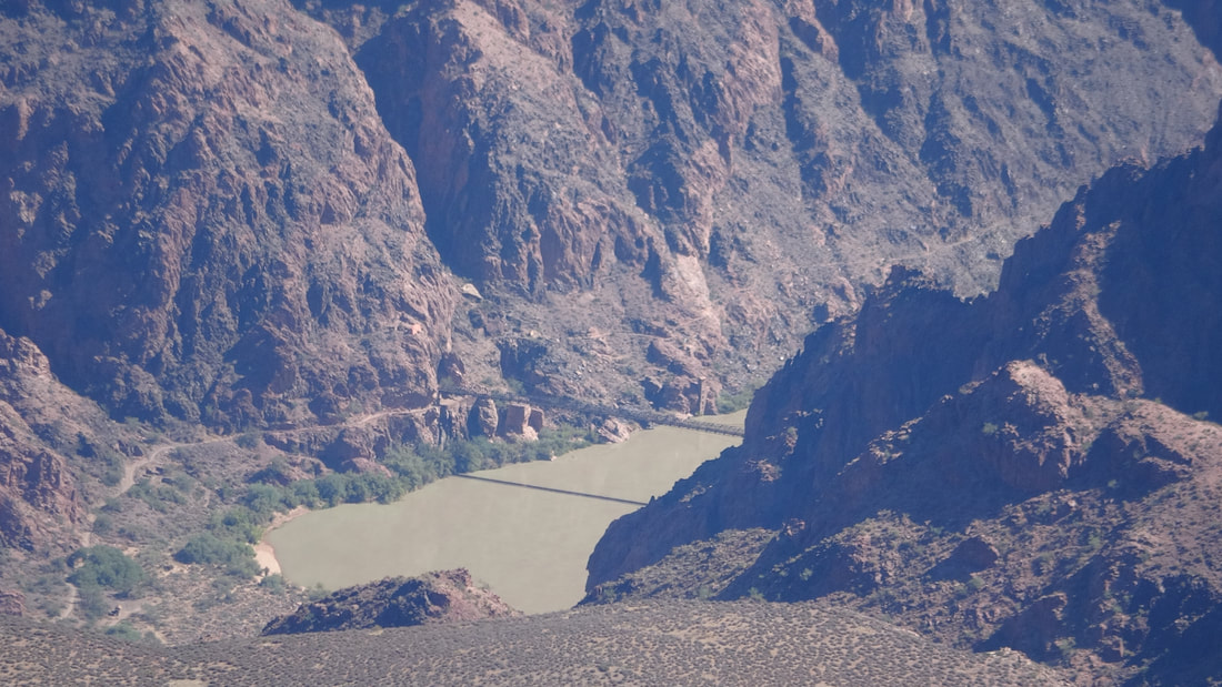
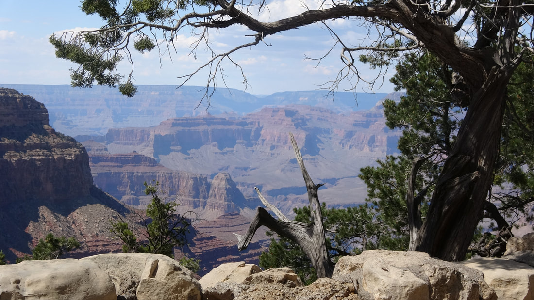
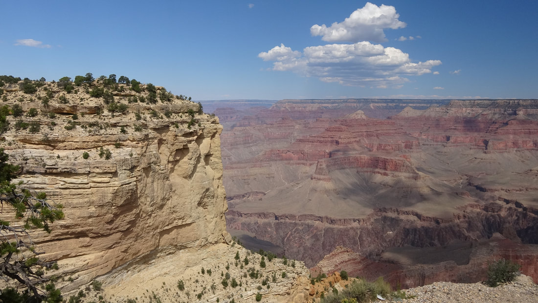
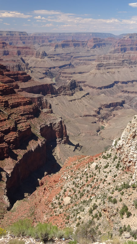
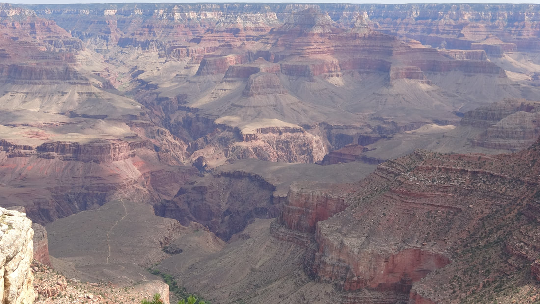
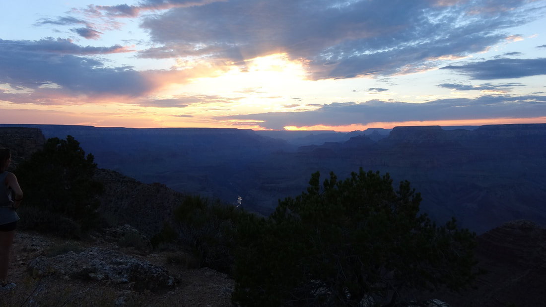
Grand Canyon National Park offers spectacular scenery at every turnout, plus miles and miles of trails leading along the rim and deep into the Canyon itself. Carved over millions of years by the Colorado River, the Canyon is about a mile deep. The landscape is so rugged that viewers can only see the Colorado River at a few overlooks, where the scenery lines up just right.
Any view of the Canyon presents a breathtaking vista, and, as an impressed rancher once said, “One hell of a place to lose a cow.” Words are not made to describe what you see anytime you look at the Canyon. When you gaze into the Canyon long enough, you begin to pick out little vignettes: A helicopter giving tourists aerial views (or maybe delivering supplies to a remote outpost), a group of hikers on Kaibab or Bright Angel Trails, or a condor soaring over the Canyon. Signs on the rim trails point out landmarks, and inform visitors about plants and wildlife in the area. At one trailside sign, I heard a visitor read, “ ’Mule Deer’ . . . how does that work?” Her friend replied, “I don’t know, but I don’t imagine the deer enjoyed it very much.” Perhaps some visitors require more basic information. Tourist facilities at Grand Canyon are consolidated primarily in two areas: Grand Canyon Village on the South Rim of the Canyon, and North Rim Village on the North Rim of the Canyon. Only the South Rim facilities are open year round; North Rim Village only has services available from May 15 to October 15. Although the two villages are about 10 miles apart (as the raven flies), the climate is very different. At an altitude of 6,800 feet, the South Rim’s village is in a high desert area; at 8,300 feet, the North Rim’s elevation is about 1,500 feet higher, and it looks like a pine forest you might see high in the mountains of Colorado or New Mexico. During those winter months, the North Rim is buried under drifts of snow. Travelling by road between the two Canyon rim areas is an exercise in patience: It’s over 200 miles by highway going from one rim village to the other. |
|
At the North Rim accommodations are simple: The only lodging is the Grand Canyon Lodge and there is one small Park Service campground. There is a gas station near the campground, and a campground store. The South Rim has six lodges, a large Park Service campground, and the Trailer Village, which caters only to RV’ers. Strangely, no fuel service is available in the South Rim’s village; gas and diesel are available at Tusayan, Arizona, located only seven miles south of Grand Canyon Village. Tusayan also offers accommodations at a few motels and lodges.
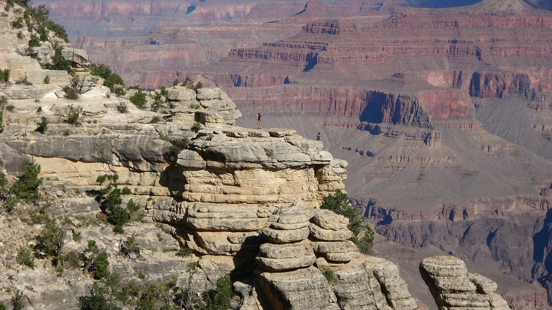
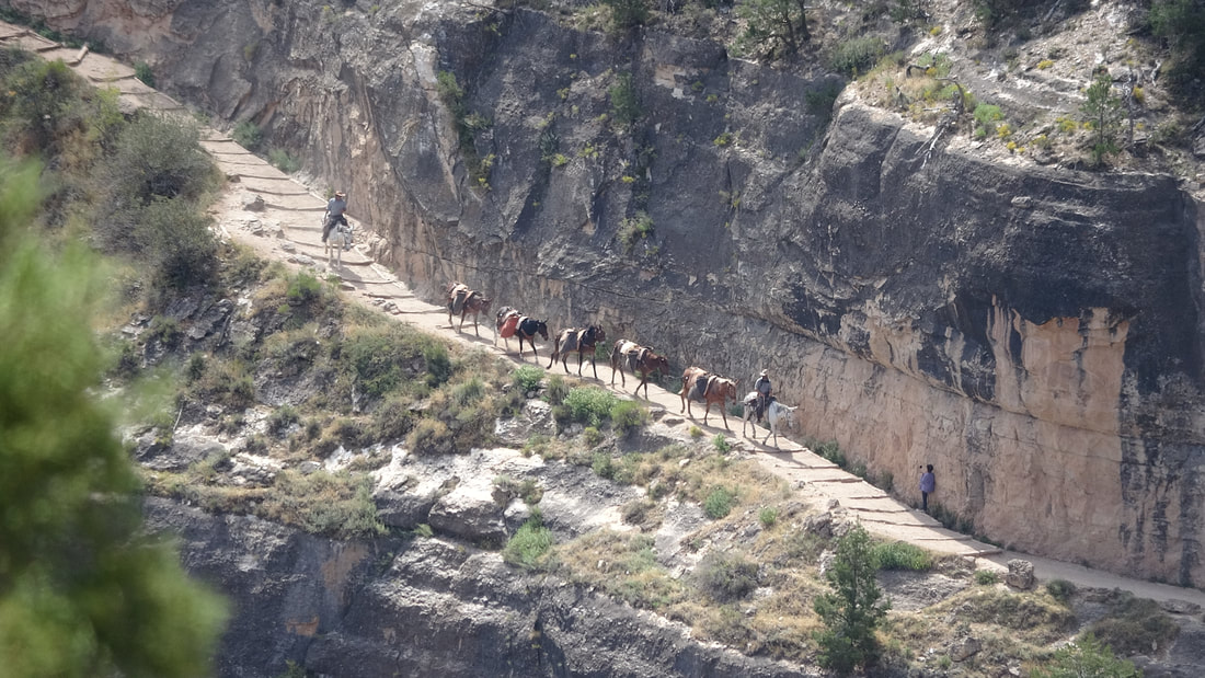
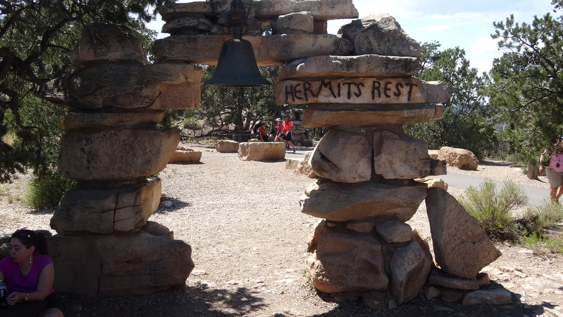
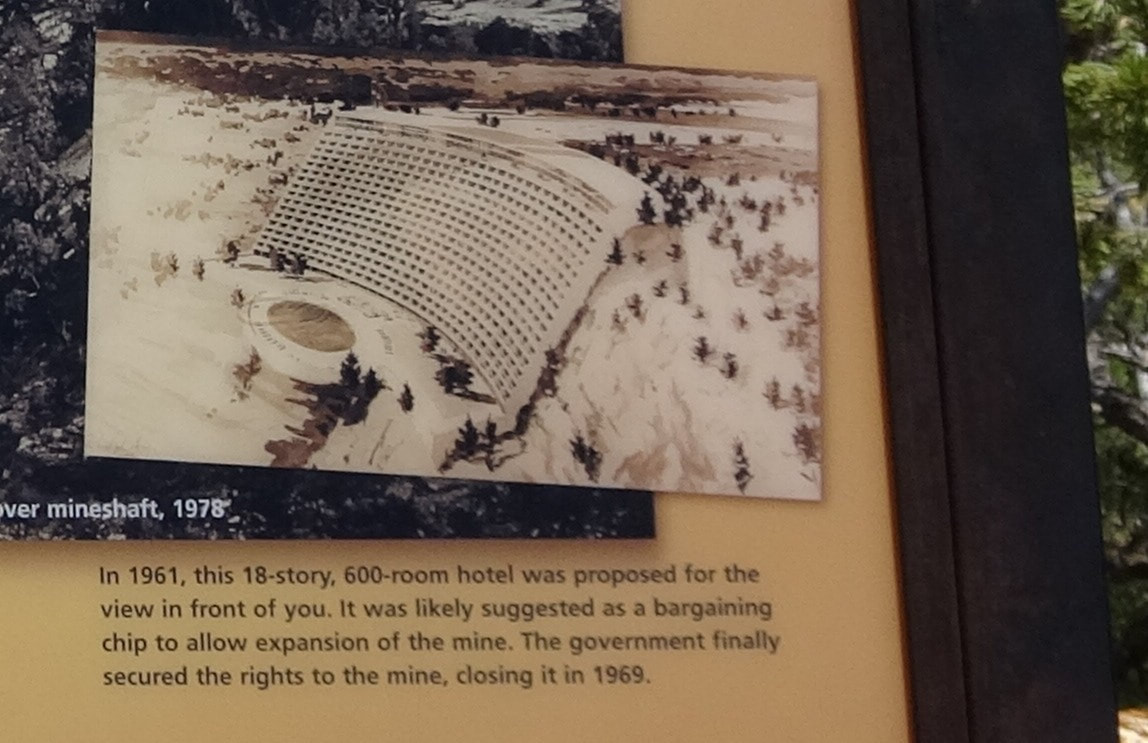
There is one lodge located inbetween the two rims: Phantom Ranch is located at the bottom of the Canyon, on a site not far from the Colorado River. There are two ways to get to Phantom Ranch: Visitors can either hike in on the Kaibab Trail or they can sign up for one of the mule rides into the Canyon. However, one does not drop in to Phantom Ranch on a whim. Yearly accommodations are meted out by a lottery held 15 months in advance, for both lodging and meals. This visit, we had reservations for the Trailer Village at the South Rim area. We spent four very full days seeing the area. The South Rim’s free Shuttle Bus System is an enormous convenience; no worrying about finding parking places; get on and off at numerous stops for sightseeing, with convenient pick up and drop off locations all over the Grand Canyon Village area. Grand Canyon Village is spread out over about a two mile stretch along the South Rim. There are numerous overlooks to give spectacular canyon views. Each morning and evening we were tuned to The Weather Channel and CNN to see what was happening back at home. We got a phone signal long enough to call our next-door neighbors to check our neighborhood status. They told us that the rain was heavy – like standing under a fire hose – but all was well in our area. We called back late the next day, only to hear, “We can’t talk long – we’re evacuating.” The Brazos River near our home was predicted to crest at 59 feet, which would put it over our levee and into our neighborhood. Our across-the-street neighbor Dave was staying (“I’ve got a generator and fuel – I’m staying right here!”), so we called him for an update: All was still well, but everyone was worried. About seven miles west of Grand Canyon Village is Hermits Rest, a small day-use area with snacks and gifts available at a small shop. Between March and November, visitors either have to hike to Hermit’s Rest, or take a shuttle bus. Only during the winter months can visitors drive themselves from Grand Canyon Village to Hermits Rest. The Hermit Road has many bus stops with spectacular views. Most of the overlooks on Hermit Road are promontories, jutting out into the Canyon, offering 180 to 270-degree Canyon panoramas. At The Abyss, however, visitors find themselves at an indentation, with a narrower view, and a 3,000 foot sheer drop into the depths of the Canyon. Acrophobics, proceed at your discretion. One other overlook pointed out an old uranium mine that operated within the park for many years. The Orphan Mine operated between 1951 and 1969, and 50 years later, the Park Service is still cleaning up the mine tailings. Incidentally, the current administration is reviewing the ban on mining in the National Parks, with the idea of adopting more business-friendly policies. In 1961, near the Orphan Mine site, one developer proposed an eighteen story hotel, with the top floor at the Canyon rim, and following the slope of the canyon wall down. The proposal never progressed; at the time I heard about it as a 13-year-old, I thought the idea was fantastic, and couldn’t wait to see it built. Now I’m very glad it wasn’t. |
|
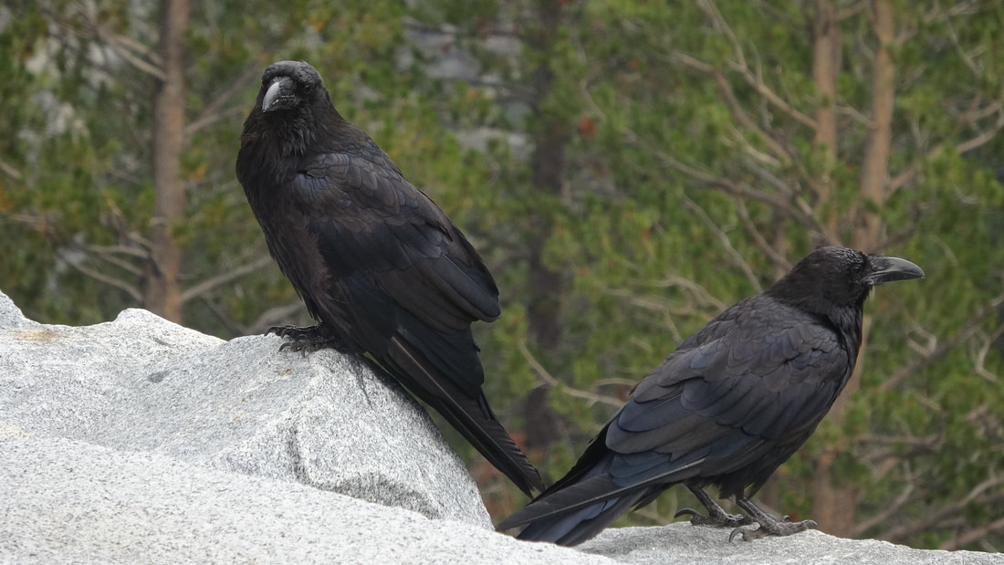
The very large resident ravens dominate at Hermits Rest. They mostly seem to have the attitude that the visitors are there to feed and admire them. Yes, feeding them is illegal, but ravens don’t care much about formalities. We ate sandwiches there and were advised that the ravens would steal food at any opportunity.
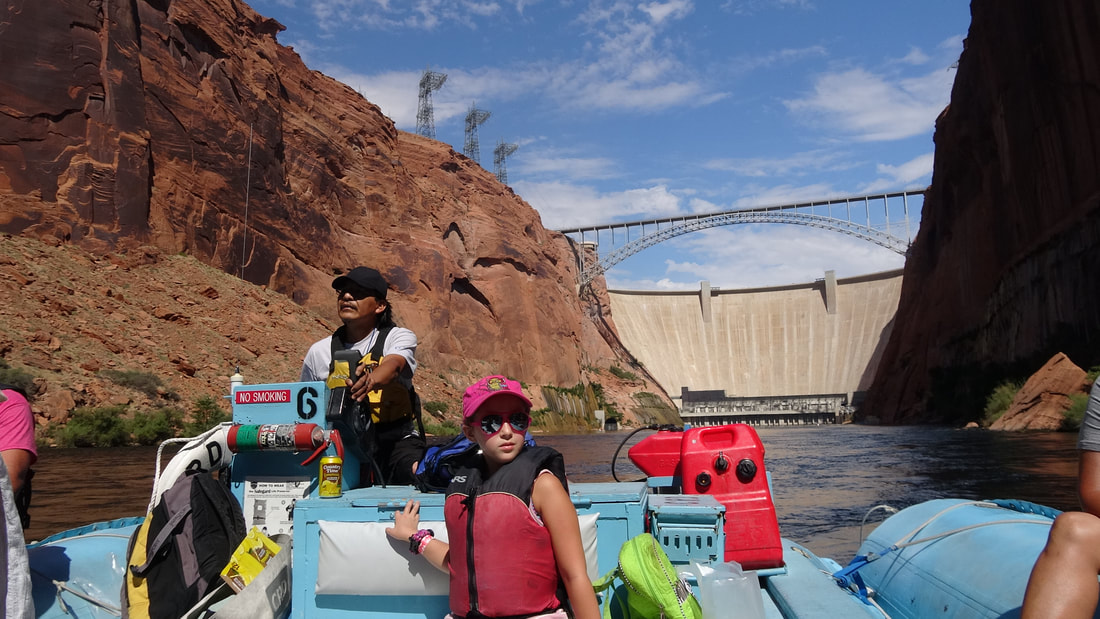
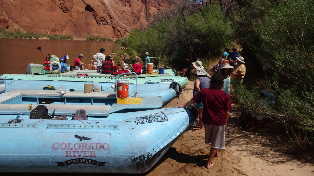
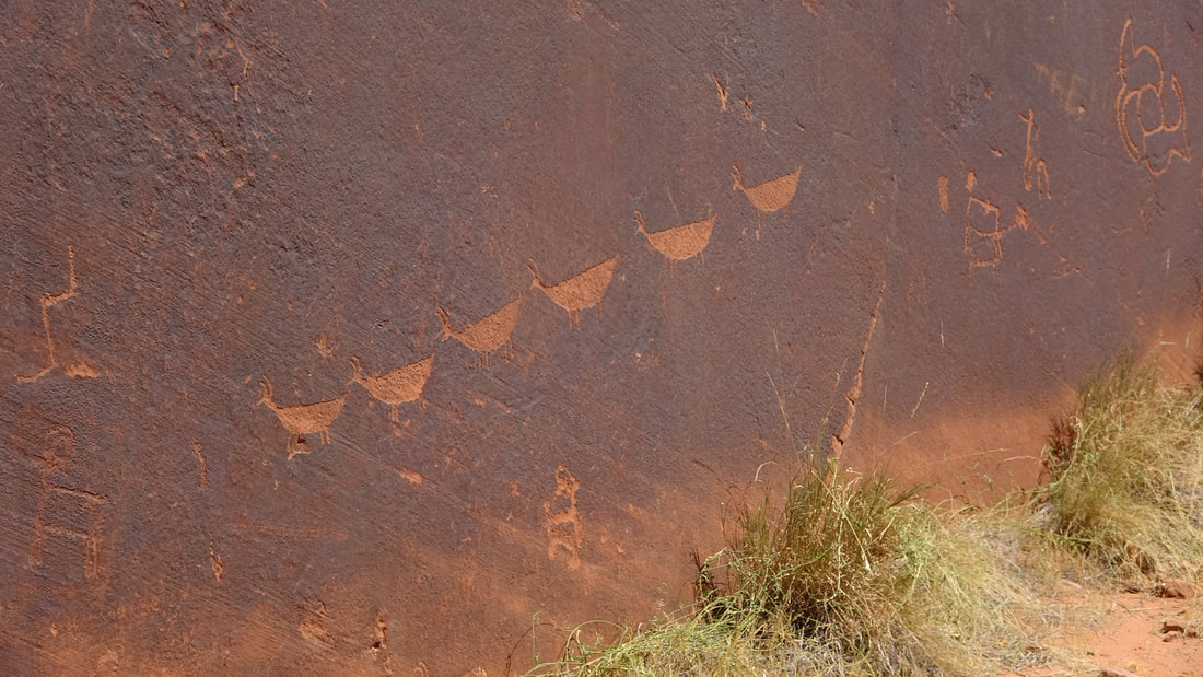
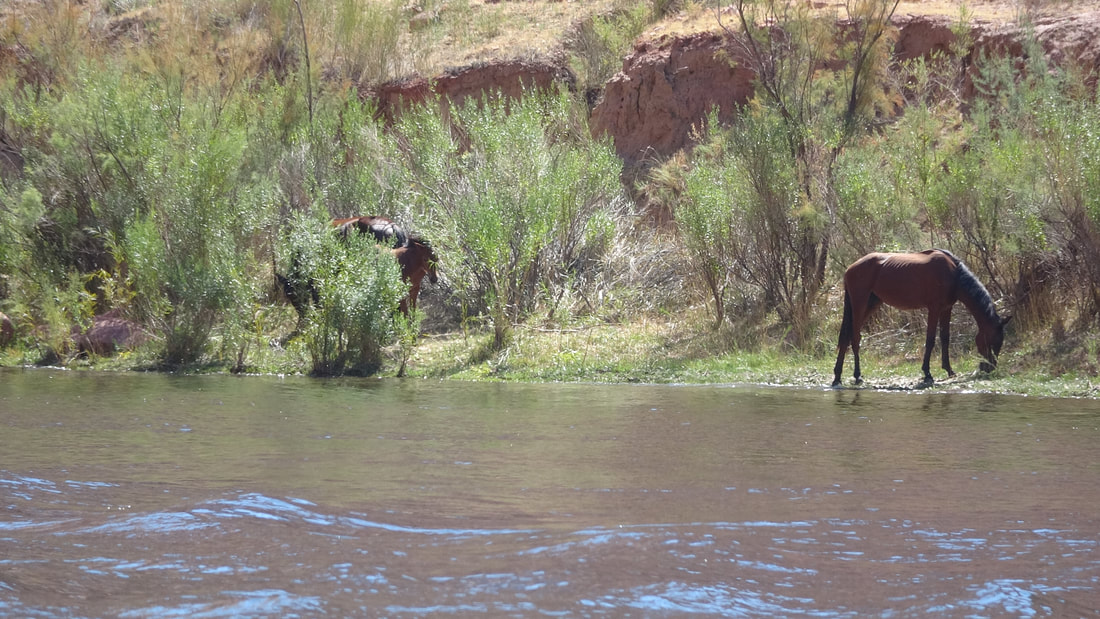
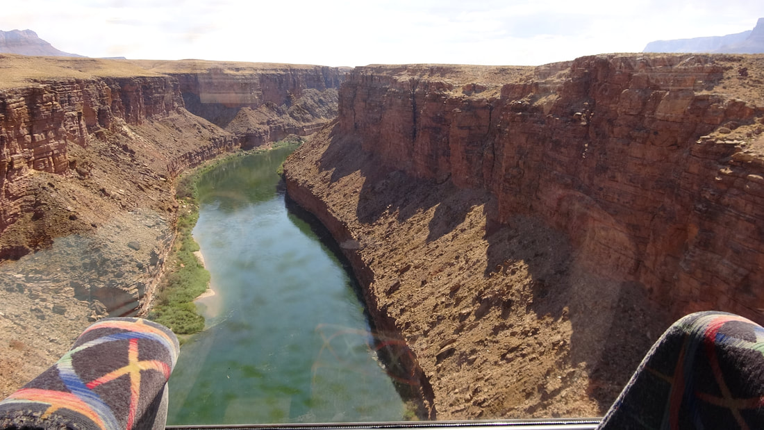
When we could get a phone signal, we were still texting or calling friends and neighbors to get updates on how things were going during the hurricane. On a shuttle bus, we talked with one couple driving their motor home back to their home in Georgia. They had planned on driving I-10 all the way back, and hadn’t heard about any hurricane around Houston or anywhere else. They decided that I-20, through Dallas, would be a better choice in this situation. We had decided that a complete visit would have to include some time on the Colorado River. Since white water trips through the Grand Canyon are usually multi-day outings – and are booked up very far in advance – we had opted for a day-long float trip. We had booked a trip that launched just below Glen Canyon Dam, and floated in a calm river 15 miles down to Lees Ferry, through Lower Glen Canyon. Along the way, we had several stops where the rafts were beached. We saw ancient petroglyphs at one stop. The views of Glen Canyon were spectacular; at one place we could barely see people up on the canyon rim, at an overlook. Our pilot and guide was a native of the area, a Navajo man who knew every inch of the river. His wife was also a guide on float trips. His stories were informative and wildly entertaining. For example, he told us his wife’s maiden name was Kimberly Big Horse. He said that her great-grandfather was in a horse-stealing raid on a nearby village of white settlers. Great-grandfather jumped on the first horse he found, which happened to be a massive Clydesdale and galloped it back to the Navajo village. The comments were flying: “WHAT is THAT??” The tribe had never seen a horse like that one. Shortly after he told that story, we encountered a herd of wild horses that lived in and near the canyon. We were fascinated; the herd made a point of ignoring us. Our guide told us that the float trips were forbidden from passing Lees Ferry: The white water began just past that point, and the permitting process was very different for a trip through the rapids. A careless guide who floated past Lees Ferry would likely be quickly arrested and lose his license to guide commercial trips. Private, non-commercial float trips are still required to beach at Lees Ferry so the proper permits may be checked or obtained. Later, we called across-the-street neighbor Dave for a status report, and found out that the worst had passed. The Brazos had crested at only 56 feet and the levee around our neighborhood was safe. Nonetheless, Dave said that at the worst, the water had come halfway up his yard to his home, but never rose above the curb at our house. Whew! |
